印度尼西亚 Indonesia => 一个盛产木材的国家
印度尼西亚 Indonesia => 一个盛产木材的国家
 艺人 |
 印度尼西亚家具精选 |
 小物件 |
 印度尼西亚家具演变史 |
印度尼西亚 Indonesia => 一个盛产木材的国家
最后修正 2023-11-09 09:24:11
印度尼西亚是一个地处亚洲的国家, 首都/首府是雅加达 。 它的行政划分如下: 印度尼西亚 被划分成 省, 然后又被细划分成 县 (kabupaten),市 (kota), 然后又被细划分成 区, 然后又被细划分成 乡,镇,村.
在此您可以得到世界各国和地区的法文,英文,中文名称。 这个珍贵的全人类共享的土地的集合,不仅包括世界上的独立国家, 而且也包括非联合国联合国:我联合国人民,团结起来追求更美好的世界!会员国的特殊领域。 请咨询 法语国名/地区名阴阳性详表。
51
id
国家/地区
英语国家/地区名
Somalia
法语国家/地区名
Somalie
countryucasefr
SOMALIE
国家/地区名
西班牙语国家/地区名
Somalia
意大利语国家/地区名
La Somalia
葡萄牙语国家/地区名
Somália
德语国家/地区名
Somalia
countrypy
suo3 ma3 li3
countrylocal
Somalia
countryfull
Somalia
countrynm
Somalia
国际编码2
SO
国际编码3
SOM
countrycodeisono
706
countrycodevehicle
SO
countrycodeolympic
SOM
countrycodeirs
SO
countrycodeirsfr
SO
countrycodeirsmixt
SO
♀女性
2
187
languagesfr
Somali, Arabe
95
currency
shilling
currencyfr
shilling
currencyisocode
SOS
currencyisocodefull
SOS 706
currencypxcode
SOS
currencysymbol
So. Sh.
currencysubdivision
100 centesimi
currencyregime
float
currencyvalue
0.00033
nationalityfr
Somalienne
首都
Mogadishu
capitalfr
Mogadiscio
电话号码前缀
252
面积 km2
528 657
arealand
627 337
areawater
10 320
landarablerate
0.0166
landforestrate
0.12
coastline
3025
summit
Shimbiris 2 450 m.
boundarycountries
Kenya, Ethiopie, Somaliland.
timezonedeltabegin
3
flaglink
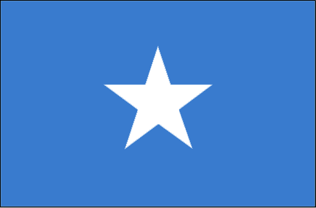
maplink
socolor.gif
outlinemaplink
soout.gif
visapassenger
-1
maincities
Baioa, Kisimayu, Merca, Gioher, Boromo.
largestcity
Mogadishu
largestcitypopulation
997 000
rankpopulation
79
人口
9 626 000
rankgni
158
gni
1350000000
rankincomeorigin
208
rankincome
213
income
180
lifeexpectation
47.71
alphabetizationrate
0.3765
natalityrate
0.04604
mortalityrate
0.0173
mortalityrateinfantile
0.11852
urbanization
0.279
nationalevent
Foundation of the Somali Republic
nationaleventfr
Fondation de la République du Somali
nationalholiday
1 July (1960)
生日 年-月-日
1960-07-01 00:00:00
7
1
location
Eastern Africa, bordering the Gulf of Aden and the Indian Ocean, east of Ethiopia
terrain
mostly flat to undulating plateau rising to hills in north
naturalresources
uranium and largely unexploited reserves of iron o
9
rgbback
16777215
todate
1
52
id
国家/地区
英语国家/地区名
South Africa
法语国家/地区名
Afrique du Sud
countryucasefr
AFRIQUE DU SUD
国家/地区名
西班牙语国家/地区名
África Del sur
意大利语国家/地区名
L'Africa Del sud
葡萄牙语国家/地区名
África Sul
德语国家/地区名
SüdcAfrika
countrypy
nan2 fei1
countrylocal
South Africa
countryfull
South Africa
countrynm
South Africa
国际编码2
ZA
国际编码3
ZAF
countrycodeisono
710
countrycodevehicle
ZA
countrycodeolympic
RSA
countrycodeirs
SF
countrycodeirsfr
SF
countrycodeirsmixt
SF
countrycode
27
♀女性
15
7
1
languagesfr
Afrikaans
96
currency
rand
currencyfr
rand
currencyisocode
ZAR
currencyisocodefull
ZAR 710
currencypxcode
ZAR
currencysymbol
R
currencysubdivision
100 cents
currencyregime
float
currencyvalue
0.1453
nationalityfr
Africaine du Sud
首都
Pretoria
capitalfr
Pretoria
电话号码前缀
27
面积 km2
1 219 912
arealand
1 219 912
landarablerate
0.1213
landforestrate
0.073
coastline
2798
summit
Injasuti 3 408 m.
boundarycountries
Namibie, Botswana, Zimbabwe, Mozambique, Swaziland, Lesotho.
timezonedeltabegin
2
flaglink
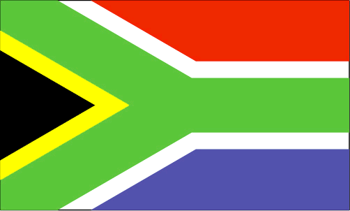
maplink
zacolor.gif
outlinemaplink
zaout.gif
visapassenger
-1
maincities
Cape Town (Le Cap), Johannesburg, Durban, Port Elizabeth, Umhlali, East London.
largestcity
Pretoria (administrative) Cape Town (legislative)
largestcitypopulation
2 727 000
rankpopulation
27
人口
45 829 000
rankgdp
29
gdp
159886000000
rankgdpppp
19
gdpppp
474137000000
rankgni
33
gni
125960000000
rankincomeorigin
94
rankincome
104
income
2750
rankincomeppp
76
incomeppp
10130
lifeexpectation
44.1
alphabetizationrate
0.8605
natalityrate
0.01909
fecondity
2.61
mortalityrate
0.0204
mortalityrateinfantile
0.06284
hdi
0.684
precipitation
520
nationalevent
Freedom Day
nationaleventfr
Jour de la Liberté
nationalholiday
27 April (1994)
生日 年-月-日
1994-04-27 00:00:00
1
11
location
Southern Africa, at the southern tip of the continent of Africa
terrain
vast interior plateau rimmed by rugged hills and narrow coastal plain
naturalresources
gold, chromium, antimony, coal, iron ore, manganes
cooking
Fruits Exotiques.
9
网站
rgbback
16777215
todate
1
小注
Fruits Exotiques.
53
id
国家/地区
英语国家/地区名
Sudan
法语国家/地区名
Soudan
countryucasefr
SOUDAN
国家/地区名
西班牙语国家/地区名
Sudán
意大利语国家/地区名
Il Sudan
葡萄牙语国家/地区名
Sudão
德语国家/地区名
Sudan
countrypy
su1 dan1
countrylocal
As-Sudan
countryfull
Sudan
countrynm
Sudan
国际编码2
SD
国际编码3
SDN
countrycodeisono
736
countrycodevehicle
SUD
countrycodeolympic
SUD
countrycodeirs
SU
countrycodeirsfr
SU
countrycodeirsmixt
SU
♂男性
3
4
3
languagesfr
Arabe
156
currency
dinar
currencyfr
livre soudanaise
currencyisocode
SDP
currencyisocodefull
SDP 736
currencypxcode
SDP
currencysubdivision
100 piastres
currencyregime
m.float
currencyvalue
0.0004
nationalityfr
Soudanaise
首都
Khartoum
capitalfr
Khartoum
电话号码前缀
249
面积 km2
2 505 813
arealand
2 376 000
areawater
129 810
landarablerate
0.0703
landforestrate
0.259
coastline
853
summit
Kinyeti 3 187 m.
boundarycountries
Tchad, Libye, Egypte, Ethiopie, Erythrée, Ouganda, Kenya, Congo démocratique, Centrafrique.
timezonedeltabegin
2
flaglink
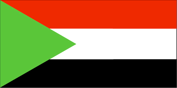
maplink
sdcolor.gif
outlinemaplink
sdout.gif
visapassenger
-1
maincities
Omdurman, Port Soudan, Wad Medani, El Obeid, Atbara, Kassala, Kosti.
largestcity
Khartoum
largestcitypopulation
2 249 000
rankpopulation
33
人口
33 546 000
rankgdp
75
gdp
17793000000
rankgdpppp
61
gdpppp
64088000000
rankgni
81
gni
15350000000
rankincomeorigin
167
rankincome
181
income
460
rankincomeppp
167
incomeppp
1760
lifeexpectation
57.73
alphabetizationrate
0.271
natalityrate
0.03648
mortalityrate
0.00959
mortalityrateinfantile
0.06559
nationalevent
Independence Day
nationaleventfr
Jour de l'Indépendance
nationalholiday
1 January (1956)
生日 年-月-日
1956-01-01 00:00:00
2
8
location
Northern Africa, bordering the Red Sea, between Egypt and Eritrea
terrain
generally flat, featureless plain; mountains in far south, northeast and west; desert dominates the north
naturalresources
petroleum; small reserves of iron ore, copper, chr
9
网站
rgbback
16777215
todate
1
54
id
国家/地区
英语国家/地区名
Swaziland
法语国家/地区名
Swaziland
countryucasefr
SWAZILAND
国家/地区名
西班牙语国家/地区名
Swazilandia
意大利语国家/地区名
Lo Swaziland
葡萄牙语国家/地区名
Suazilândia
德语国家/地区名
Swasiland
countrypy
shi3 wa3 ji4 lan2
countrylocal
Swaziland
countryfull
Swaziland
countrynm
Swaziland
国际编码2
SZ
国际编码3
SWZ
countrycodeisono
748
countrycodevehicle
SD
countrycodeolympic
SWZ
countrycodeirs
WZ
countrycodeirsfr
WZ
countrycodeirsmixt
WZ
♂男性
1
3
189
languagesfr
Siswati, Anglais
157
currency
lilangeni, pl., emalangeni
currencyfr
lilangeni
currencyisocode
SZL
currencyisocodefull
SZL 748
currencypxcode
SZL
currencysymbol
L, pl., E
currencysubdivision
100 cents
currencyregime
South African rand (1.0)
currencyvalue
0.1452
首都
Mbabana
capitalfr
Mbabane
电话号码前缀
268
面积 km2
17 363
arealand
17 203
areawater
160
landarablerate
0.0977
landforestrate
0.303
summit
Emlemle 1 862 m.
boundarycountries
Afrique du Sud, Mozambique.
timezonedeltabegin
2
flaglink
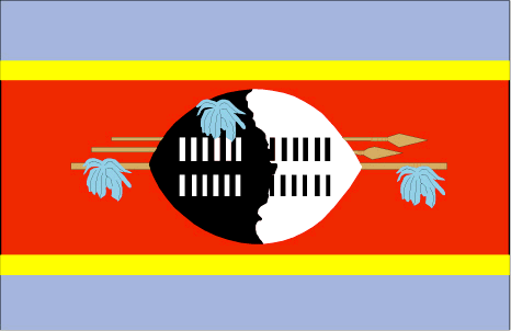
maplink
szcolor.gif
outlinemaplink
szout.gif
visapassenger
-1
maincities
Manzini, Big Bend, Mhlume, Nhlangano, Pigg's Peak, Stegi.
largestcity
Mbabane
largestcitypopulation
61 000
rankpopulation
151
人口
1 106 000
rankgdp
145
gdp
1845000000
rankgdpppp
139
gdpppp
5225000000
rankgni
160
gni
1496000000
rankincomeorigin
127
rankincome
139
income
1350
rankincomeppp
123
incomeppp
4850
lifeexpectation
37.54
alphabetizationrate
0.81
natalityrate
0.02855
mortalityrate
0.02306
mortalityrateinfantile
0.06835
hdi
0.547
urbanization
0.267
nationalevent
Independence Day
nationaleventfr
Jour de l'Indépendance
nationalholiday
6 September (1968)
生日 年-月-日
1968-09-06 00:00:00
5
9
location
Southern Africa, between Mozambique and South Africa
terrain
mostly mountains and hills; some moderately sloping plains
naturalresources
asbestos, coal, clay, cassiterite, hydropower, for
9
网站
rgbback
16777215
todate
1
55
id
国家/地区
英语国家/地区名
Syria
法语国家/地区名
Syrie
countryucasefr
SYRIE
国家/地区名
西班牙语国家/地区名
Siria
意大利语国家/地区名
La Siria
葡萄牙语国家/地区名
Syria
德语国家/地区名
Syrien
countrypy
xu4 li4 ya4
countrylocal
Suriyah
countryfull
Syria
countrynm
Syria
国际编码2
SY
国际编码3
SYR
countrycodeisono
760
countrycodevehicle
SYR
countrycodeolympic
SYR
countrycodeirs
SY
countrycodeirsfr
SY
countrycodeirsmixt
SY
♀女性
15
1
3
languagesfr
Arabe
101
currency
pound
currencyfr
livre syrienne
currencyisocode
SYP
currencyisocodefull
SYP 760
currencypxcode
SYP
currencysymbol
£S
currencysubdivision
100 piasters
currencyregime
US-$ (11.225)
currencyvalue
0.01926
nationalityfr
Syrienne
首都
Damascus
capitalfr
Damas
电话号码前缀
963
面积 km2
185 180
arealand
184 050
areawater
1 130
landarablerate
0.2596
landforestrate
0.025
coastline
193
summit
Jabal ash-Shaykh 2 814 m.
boundarycountries
Israël, Liban, Turquie, Irak, Jordanie.
timezonedeltabegin
2
flaglink
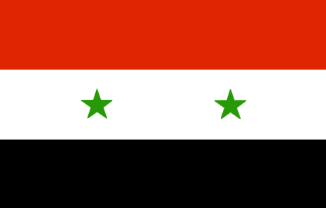
maplink
sycolor.gif
outlinemaplink
syout.gif
visapassenger
-1
maincities
Alep, Homs, Lattaquié, Hama, Deir es Zor, Raqqa, El Haseke, Tartoûs, Idlib, Deraa, Abu Kemal.
largestcity
Damascus
largestcitypopulation
2 036 000
rankpopulation
53
人口
17 384 000
rankgdp
67
gdp
21499000000
rankgdpppp
62
gdpppp
62165000000
rankgni
71
gni
20209000000
rankincomeorigin
130
rankincome
142
income
1160
rankincomeppp
138
incomeppp
3430
lifeexpectation
69.39
alphabetizationrate
0.645
natalityrate
0.02954
mortalityrate
0.00504
mortalityrateinfantile
0.03167
precipitation
143
nationalevent
Independence Day
nationaleventfr
Jour de l'Indépendance
nationalholiday
17 April (1946)
生日 年-月-日
1946-04-17 00:00:00
3
11
location
Middle East, bordering the Mediterranean Sea, between Lebanon and Turkey
terrain
primarily semiarid and desert plateau; narrow coastal plain; mountains in west
naturalresources
petroleum, phosphates, chrome and manganese ores,
9
rgbback
16777215
todate
1
