Pays/Territoires
Mise à jour 2021-01-12 18:58:07
Les noms des pays/territoires du monde sont donnés en Français et Chinois. Cette collection des précieuses terres fermes du monde que toute l'humanité partage inclut non seulement les pays indépendants, mais aussi des régions spécifiques qui ne sont pas membre de l'ONUOrganisation des Nations Unies: Nous, peuples des Nations Unies ... Une ONU plus forte pour un monde meilleur. Veuillez aussi consulter les noms des pays en masculin et féminin en Français.
GéoPays Fermer
1
id
Pays
Pays en Anglais
Malawi
Pays
Malawi
countryucasefr
MALAWI
Pays en Chinois
Pays en Espagnol
Malawi
Pays en Italien
Il Malawi
Pays en Portugais
Malawi
Pays en Allemand
Malawi
countrypy
ma3 la1 wei1
countrylocal
Malawi
countryfull
Malawi
countrynm
Malawi
ISO2
MW
ISO3
MWI
countrycodeisono
454
countrycodevehicle
MW
countrycodeolympic
MAW
countrycodeirs
MI
countrycodeirsfr
MI
countrycodeirsmixt
MI
♂Masulin
14
6
194
languagesfr
Chewa, Anglais
149
currency
kwacha
currencyfr
kwacha
currencyisocode
MWK
currencyisocodefull
MWK 454
currencypxcode
MWK
currencysymbol
MK
currencysubdivision
100 tambala
currencyregime
float
currencyvalue
0.00851
Capitale
Lilongwe
capitalfr
Lilongwe
Préfixe Tél.
265
Superficie km2
118 484
arealand
94 080
areawater
24 400
landarablerate
0.1993
landforestrate
0.272
summit
Mlanje Sapitwa 3 002 m.
boundarycountries
Zambie, Tanzanie, Mozambique.
timezonedeltabegin
2
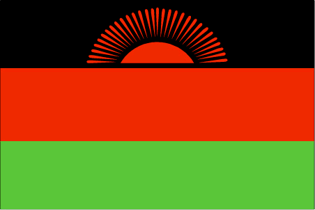
flaglink

maplink
mwcolor.gif
outlinemaplink
mwout.gif
visapassenger
-1
maincities
Blantyre, Mzuzu, Zomba, Karonga, Nkhotakota.
largestcity
Lilongwe
largestcitypopulation
437 000
rankpopulation
70
Population
10 962 000
rankgdp
147
gdp
1714000000
rankgdpppp
136
gdpppp
6630000000
rankgni
155
gni
1808000000
rankincomeorigin
200
rankincome
215
income
160
rankincomeppp
207
incomeppp
590
lifeexpectation
37.48
alphabetizationrate
0.621
natalityrate
0.04435
mortalityrate
0.02301
mortalityrateinfantile
0.10423
hdi
0.387
urbanization
0.151
precipitation
922
nationalevent
Independence Day (Republic Day)
nationaleventfr
Jour de l'Indépendance (Jour de la République)
nationalholiday
6 July (1964)
Date de naissance aaaa-mm-jj
1964-07-06 00:00:00
1
5
location
Southern Africa, east of Zambia
terrain
narrow elongated plateau with rolling plains, rounded hills, some mountains
naturalresources
limestone, arable land, hydropower, unexploited de
9
Web
rgbback
16777215
todate
1
| Pays/Territoires | Régions en Chine | Provinces de Chine | Régions en France | Départements de France | Provinces du Monde | Villes/Villages | Localités | Continents du Monde | Vins AOP
